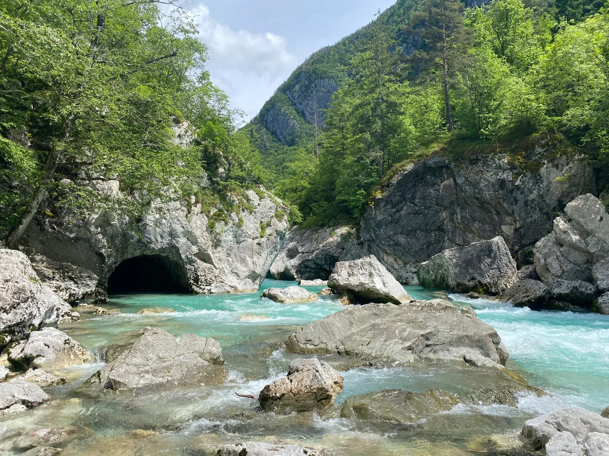
The turquoise Soča rushing between pale limestone boulders below wooded mountain slopes, with a dark rock tunnel on the left bank
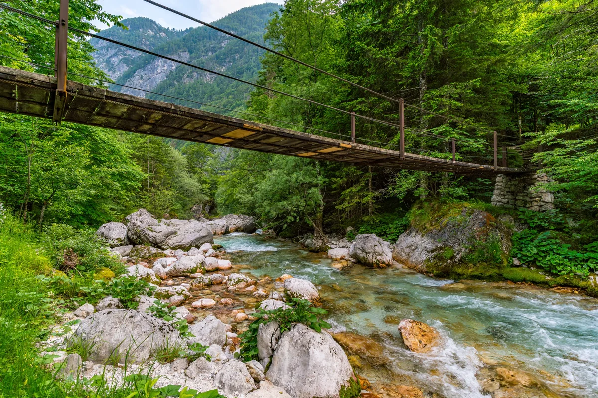
A wooden suspension bridge over the rushing Soča among boulders and forest in the upper valley
Slovenia Soča Valley Verified campsite to campsite, checked November 2026

Soča Valley in 5 days

Follow the emerald Soča from the Julian Alps to Tolmin — gorges, waterfalls and suspension bridges, with a riverside campsite every night.

Download GPX
Total distance
54.7 km
Walking days
5
Avg per day
10.9 km
Ascent / descent
+1,210 / −1,620 m
Difficulty
Moderate
Best period
May – Sep
Route type
Point to point
Solid line: planned track along OpenStreetMap paths. Dashed: no track yet. Map: OpenFreeMap / OpenStreetMap.

Elevation profile

100 300 500 700 0 km10 km20 km30 km40 km50 km Day 1 Day 2 Day 3 Day 4 Day 5
From 165 m to 638 m over 54.7 km. Elevation in metres, from the planned track.

Photos from the trail

1 / 4
The clear turquoise Soča between a pebble bank and wooded slopes, with the Julian Alps rising ahead
The Virje waterfall splitting over mossy rock into a green pool near Bovec
Virje waterfall (day 3)
The stone arch of the Napoleon Bridge over the turquoise Soča gorge near Kobarid
Napoleon Bridge, Kobarid (day 4)
A hiker with a backpack on the pebbles in front of the emerald pool of the Kozjak waterfall, inside a cave-like gorge of layered rock
Kozjak waterfall (day 4)

When to go

The top row shows when the trail itself is in good condition (snow, heat, services). Below it, when each campsite is open — the trek works when both line up. Trail conditions can differ from year to year, so always keep an eye on local websites before and during your trek.

When the trail is in condition, opening months per campsite, and when all campsites are open together
Row AprMayJunJulAugSepOct
Trail season Not advisedPossibleBestBestBestBestPossible
Campsites open
Soča OpenOpenOpenOpenOpenOpenOpen
Bovec OpenOpenOpenOpenOpenOpenOpen
Trnovo ob Soči ClosedOpenOpenOpenOpenPartClosed
Kobarid OpenOpenOpenOpenOpenOpenOpen
Gabrje PartOpenOpenOpenOpenOpenPart
All campsites open ClosedOpenOpenOpenOpenPartClosed

Day by day

Day 1: Trenta → Soča

Distance
11.1 km
Up / down
+200 / −340 m
Walking time
3h 30

Landscape

Down the Trenta valley in Triglav National Park, alongside the young Soča.

Along the way

Suspension bridges over the river; the Great Soča Gorge (Velika korita) near Soča village.

Water & groceries

Very little on the way or in Soča village — carry food for the day.

Tonight

Kamp Klin. Riverside campsite near Soča village.

Day 2: Soča → Bovec

Distance
7 km
Up / down
+50 / −80 m
Walking time
2h

Landscape

An easy riverside path through forest as the valley widens towards Bovec.

Along the way

Short day — time to swim, raft or visit Bovec.

Water & groceries

Supermarket and restaurants in Bovec.

Tonight

Camp Liza. Riverside campsite near Bovec.

Day 3: Bovec → Trnovo ob Soči

Distance
16.4 km
Up / down
+540 / −640 m
Walking time
5h 45

Landscape

Across the Bovec basin, then on paths along the slopes above the Soča between steep mountains.

Along the way

The Virje waterfall and its green pool; views of the Kanin range.

Water & groceries

Shops in Bovec — buy food for the day. Little in Trnovo.

Tonight

Kamp Trnovo. Small campsite by the river at Trnovo.

Day 4: Trnovo ob Soči → Kobarid

Distance
7.5 km
Up / down
+220 / −310 m
Walking time
2h 30

Landscape

Forest paths high above the river, then down into a narrow side gorge.

Along the way

The Kozjak waterfall in its cave-like basin; the Napoleon Bridge at Kobarid.

Water & groceries

Shops and restaurants in Kobarid.

Tonight

Kamp Koren. Riverside campsite near Kobarid — busy in summer.

Day 5: Kobarid → Gabrje

Distance
12.7 km
Up / down
+200 / −250 m
Walking time
3h 45

Landscape

Down the wider lower valley through villages and pastures towards Tolmin.

Along the way

The Soča in its broad, gravelly bed below the Krn mountains.

Water & groceries

Shops in Kobarid; Tolmin a few kilometres beyond Gabrje.

Tonight

Camp Gabrje. Campsite at Gabrje, near Tolmin.

Walking times are calculated with the DIN 33466 hiking formula (4 km/h, 300 m/h up, 500 m/h down), without breaks.

About this trek

The Soča is famous for its colour: an unreal emerald green that comes from the limestone of the Julian Alps. From its source in Trenta to Tolmin, the river runs through narrow gorges, past waterfalls and under swaying suspension bridges, with the peaks of Triglav National Park all around.

This route follows the Soča Trail and parts of the Alpe Adria Trail for five days. The official Alpe Adria stages are 21–22 km, but the valley has so many campsites that you can walk it in short days — including a very easy second day to enjoy Bovec.

Why campsite to campsite here? The Soča is a rafting and kayaking valley, so riverside campsites are everywhere. Wild camping is not allowed in Slovenia, which makes a campsite-based trek the natural way to walk it with a tent.

Campsite to Campsite check

Automatic check of our eight conditions.

  • Every night at a regular campsite that accepts tents
  • Every campsite reachable on foot from the route
  • Each stage starts where yesterday ended — at most a short transfer of 30 minutes, always shown
  • No wild camping or bivouacs needed
  • No huts, hotels or hostels as standard overnight
  • All campsites open during the stated season
  • Daily distance and ascent measured and checked
  • Walkable with a full trekking pack

GPX downloads

Works with Garmin, Komoot, OsmAnd and other apps.

Walked it recently?

Report a closed campsite, a detour or a new water point. Every report is checked before the route changes.

Report an update

Soča Valley in 5 days